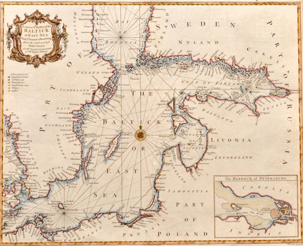
18858. Baltick or East Sea from ye Sound to Petersburg 1743-1747
lehe mõõt 40 x 48 cm
Single sheet. Hand coloured engraving. Scale [circa 1:2,500,000 (lat)]. The borders are graduated for latitude and longitude and the chart contains rhumb lines. There is an inset chart of the harbour of Petersburg, scale [circa 1:600,000]. From the 3rd edition (1743-1747) of Nicolas Tindal’s translation of Rapin’s History of England, which included a continuation from the revolution to the accession of George II.
l
Müüdud